Proposed Planning Scheme Amendment (Gympie Estate - Open Space Zone)
At its Meeting held 28 April 2026, Council resolved to make an amendment to the Bundaberg Regional Council Planning Scheme 2015 to change the zoning of the Council owned land referred to as 'Gympie Estate' at Telegraph Road, Bundaberg East from the Low density residential zone to the Open space zone.
Public consultation for the proposed amendment was undertaken between Friday, 8 May 2026 and Monday, 8 June 2026.
The public consultation period has now concluded.
The proposed amendment will be tabled at a future Ordinary Meeting for Council to consider submissions and decide whether to proceed with the proposed amendment, with or without changes in response to submissions and requesting approval from the Planning Minister to adopt the amendment.
Submitters will be provided with a response detailing how Council has dealt with submissions.
Proposed amendment
- Proposed zoning amendment (extract of Schedule 2 - Mapping) - existing and proposed Planning Scheme Zone Map ZM-20
- Public Notice
Where is the proposed amendment?
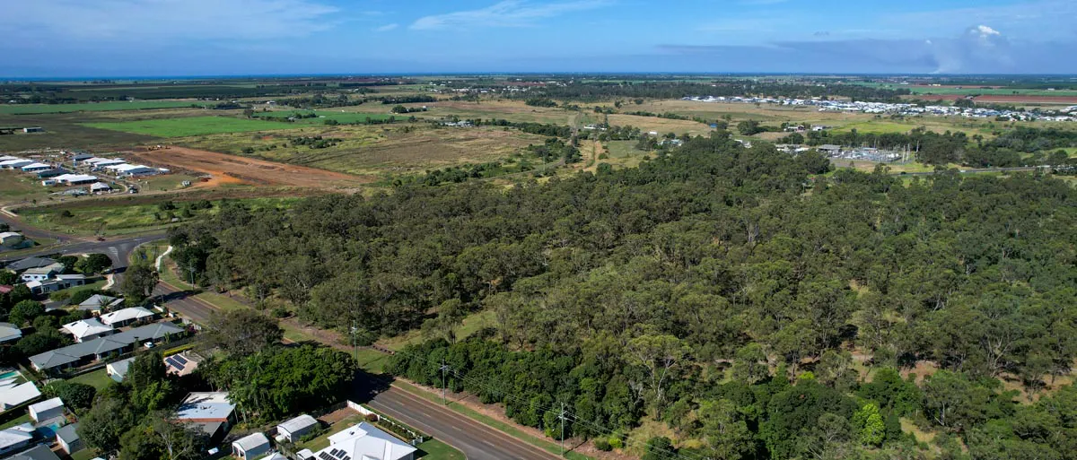
Gympie Estate at Bundaberg East is broadly bounded by Telegraph Road, the Bundaberg Ring Road, FE Walker Street and Mellifont Street (see figure 1).
 Figure 1 - Land subject to proposed amendment (marked in red)
Why is this amendment being undertaken?
The land was subdivided by the Queensland Government surveyor in 1888 and locates within the Low density residential zone of the Bundaberg Regional Council Planning Scheme.
This land has been long considered for potential housing development, but largely remains undeveloped, natural bushland impacted by only limited improvements, including Ergon electricity lines and a track for land management purposes.
The Bundaberg Local Housing Action Plan (BLHAP) was adopted by Council at its Meeting held 28 May 2024. The plan, prepared in partnership with the Queensland Government and the Local Government Association of Queensland (LGAQ), contained recommended actions for the Council to undertake to address the housing issues confronting the Bundaberg Region. Action 1.3 of the plan seeks for Council to identify council owned land that may be suitable for housing and to work with housing providers to realise opportunities to deliver more affordable, social and community housing.
Most recently, Council sought to enter into a Deed of Gift with Regional Housing Limited for the transfer of part of the Gympie Estate land for residential development, to address housing issues confronting the region and actions identified in the Bundaberg Local Housing Action Plan (BLHAP).
Following investigations undertaken by Regional Housing Limited, in late 2025 it was determined that the land was unsuitable for development for housing due to geotechnical and environmental constraints. As a result, Council and Regional Housing Limited abandoned plans to develop the land for housing, and officers were instead asked to investigate options to incorporate the land into the nearby Baldwin Swamp Environmental Park.
In recognition of the land’s environmental and geotechnical characteristics, and to appropriately reflect the Council’s intended future use of the land as part of the Baldwin Swamp Environmental Park Council has resolved to amend its planning scheme to rezone this land to the Open space zone.
The proposed amendment includes changes to Schedule 2 – Mapping of the planning scheme to incorporate the zoning change.
It is noted that land in the vicinity currently included in the Community facilities zone (Annotation – 14 Utility installation) is to be retained to reflect its utility for water supply services/ infrastructure.
This amendment forms part of a coordinated plan to include this land within the Baldwin Swamp Environmental Park. Other initiatives will include the possible amalgamation of lots into a single title (while still retaining the existing road reserves), erecting signage, including the land within the management plan for Baldwin Swamp, and updating Council’s interactive mapping system to show this land within the environmental park.
Contact us
For enquiries or information about the proposed amendment, Council's Land Use Planning and Policy team is available by phone 1300 883 699, email development@bundaberg.qld.gov.au, or at Council’s Development Counter at Level 6, Auswide Building, 16-20 Barolin Street, Bundaberg Central.

Who's Listening
-
Bundaberg Regional Council

Phone 1300 883 699 Email development@bundaberg.qld.gov.au