Bargara Shoreline Erosion Management Plan (completed)
Making OUR Bargara COAST more resilient
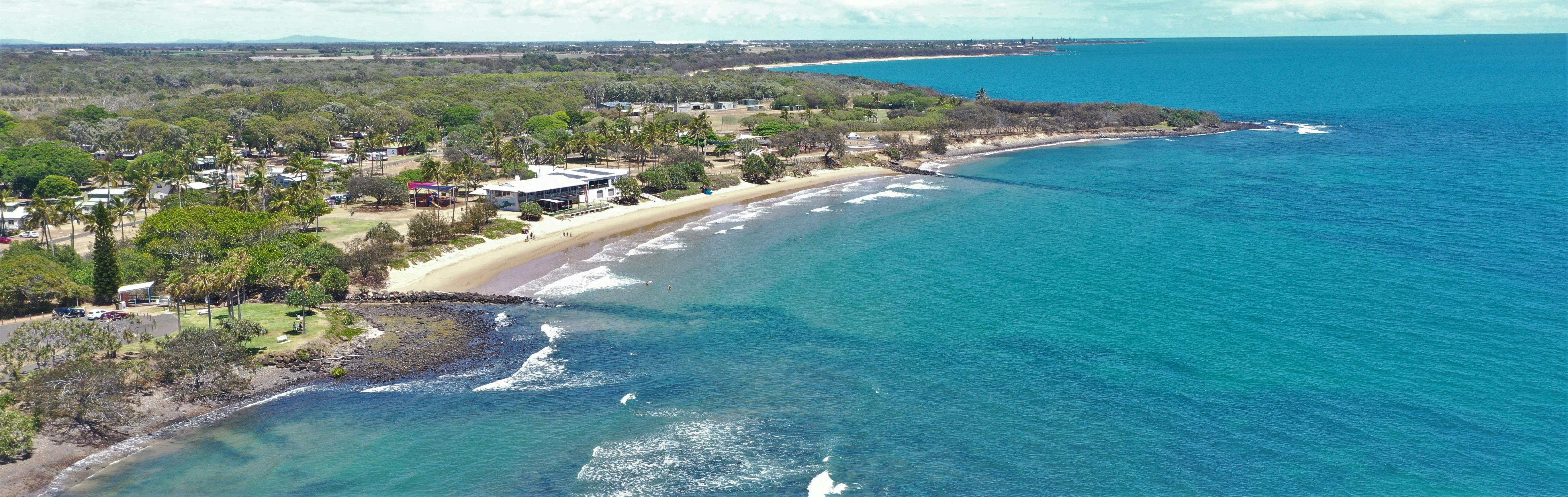
Council has commenced the development of a Shoreline Erosion Management Plan for the Bargara foreshore. The study area includes approximately 2km from The Point in the south to the Bargara Sports Complex in the north.

Council has recently achieved a significant milestone in being one of the first few councils in Queensland to complete Our Coast – Bundaberg’s Coastal Hazard Adaptation Strategy under the QCoast2100 program.
The Bargara SEMP is one of the priority short-term actions from this Strategy and is one of many steps we are taking to proactively manage our coastline now, and into the future.
Council has identified the 2km stretch between the Point and the Bargara Sports Complex as a priority area for erosion management.
What is impacting the Bargara shoreline / or Why is the Bargara shoreline eroding?
The Bargara coastline is quite unique, having sections of both sandy and rocky shores, natural headlands, pocket beaches and coastal structures (such as groynes, a boat ramp and seawalls) all in a very short stretch of coastline.
This coastline is continually changing due to the winds, waves, tides, and currents. Over time these weather events move sand and sediments to shape the shoreline and our beaches.
These climatic changes can threaten and negatively impact foreshore infrastructure and buildings, as well as impact important coastal places and natural habitats, and how we use the coastline.
What is a Shoreline Erosion Management Plan and how is it developed?
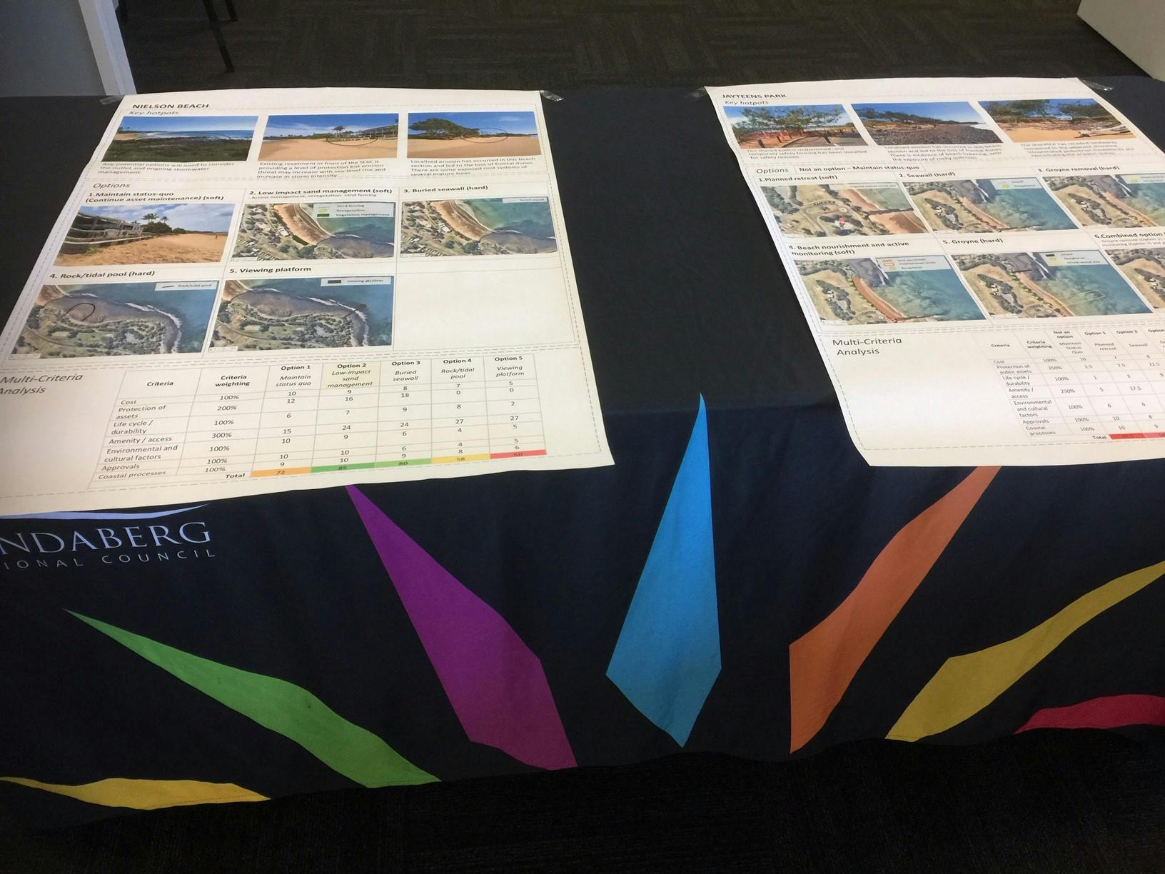
A Shoreline Erosion Management Plan provides Council with a framework to proactively plan to manage erosion of the coastline over the short to medium term (5-20 years).

The Shoreline Erosion Management Plan is developed by building an understanding of the local coastal processes and hazards and developing options to allow us to better live with or mitigate these hazards in the short- to medium-term. This is a careful balancing act to ensure we also protect and maintain what the community loves most about the Bargara shoreline.
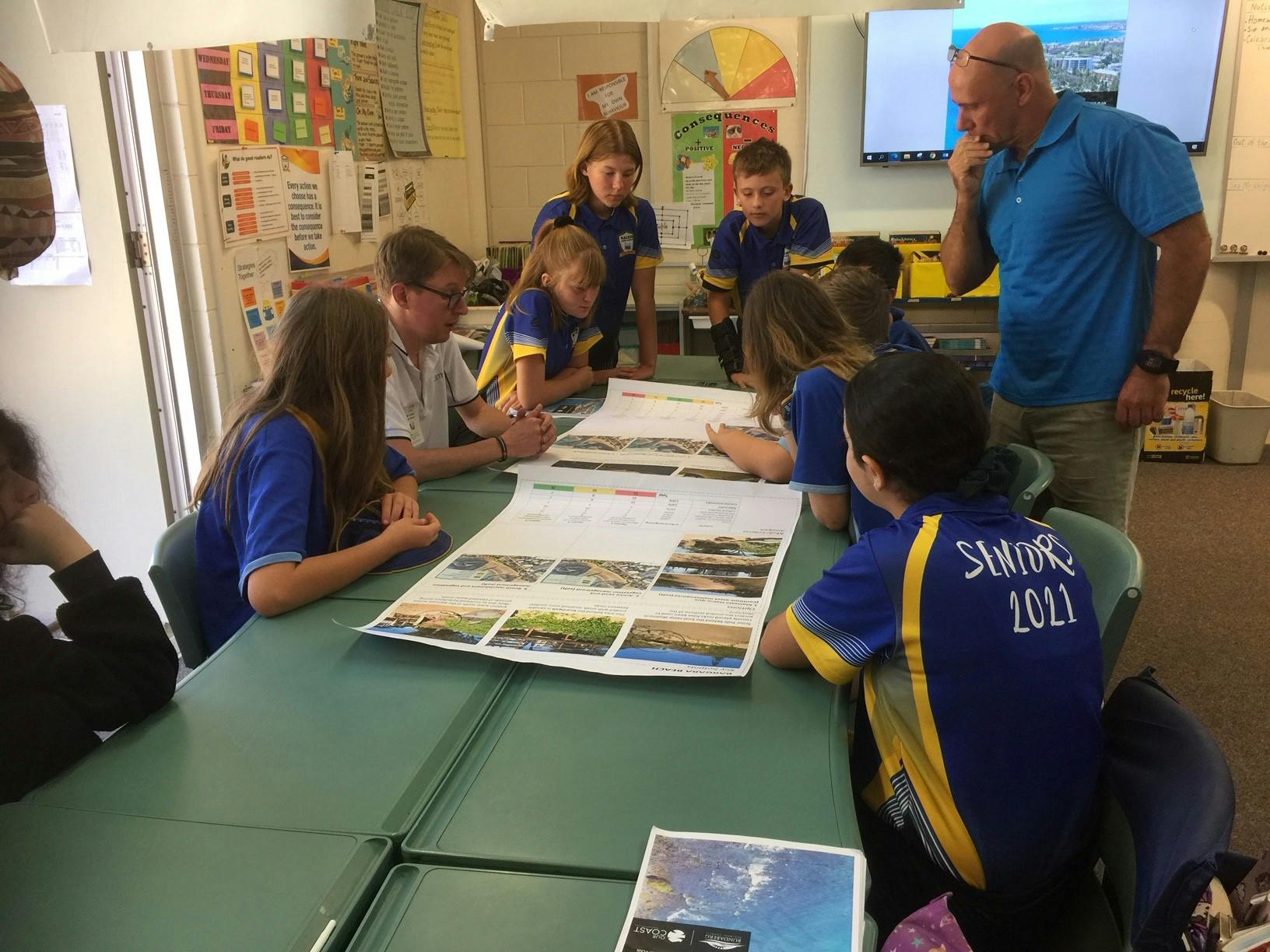
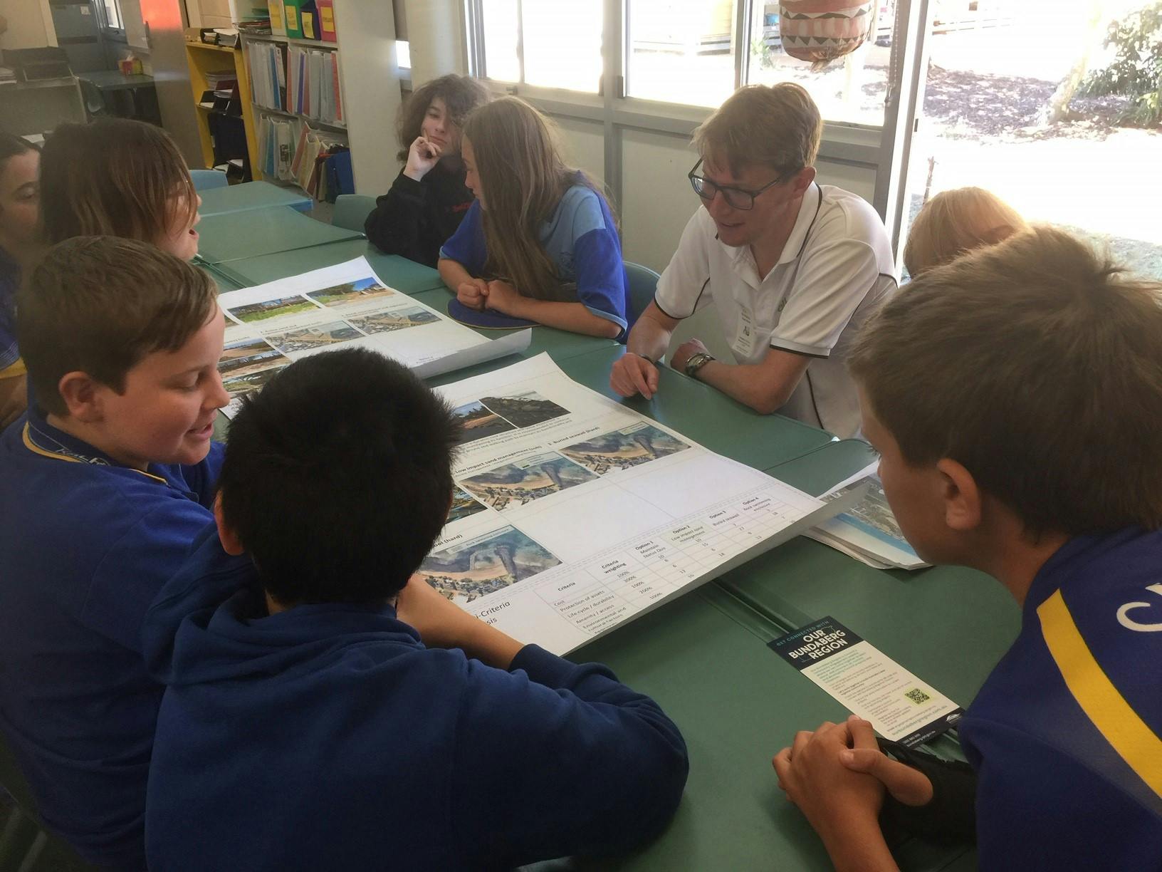
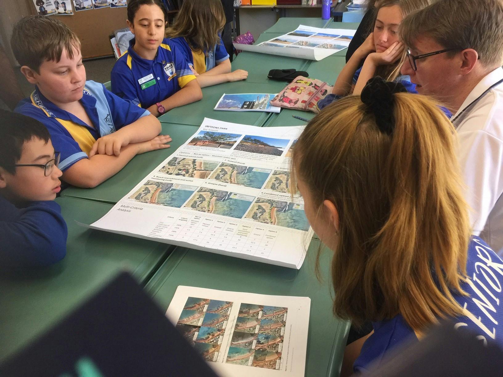
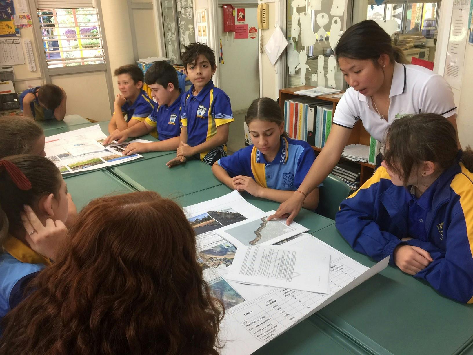
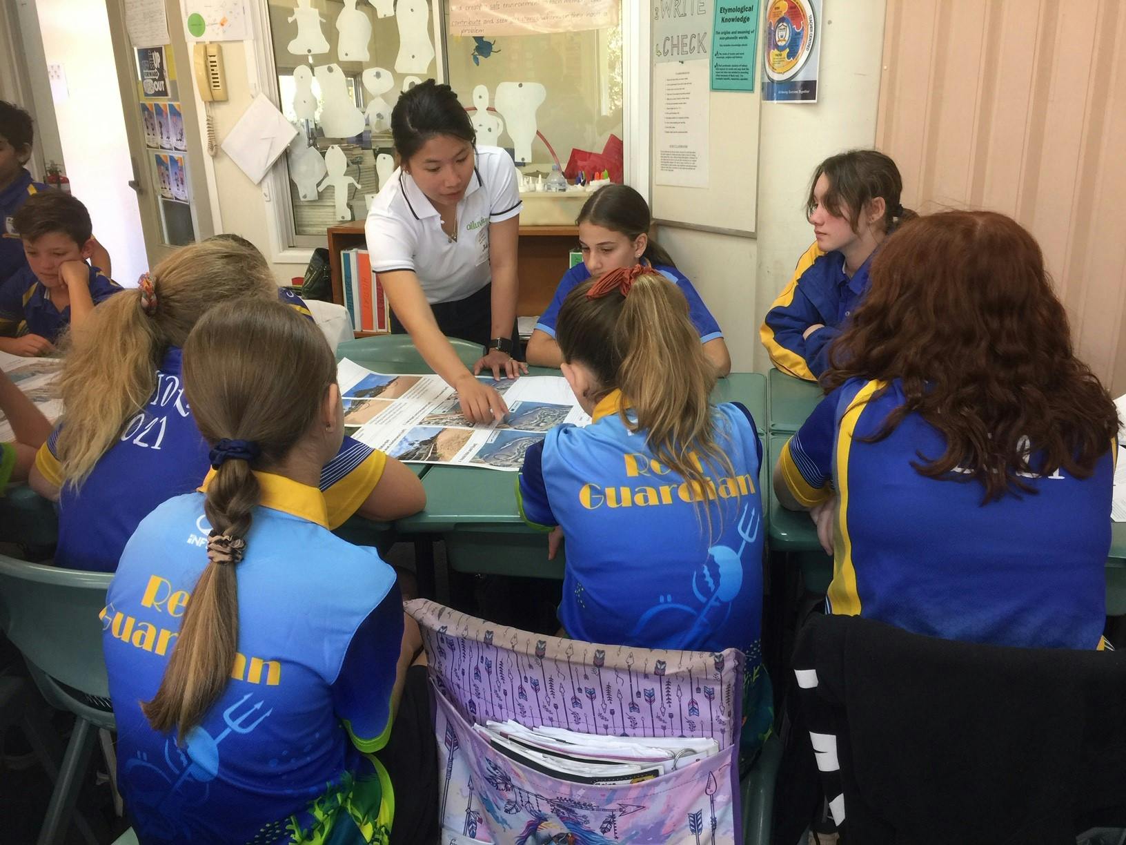
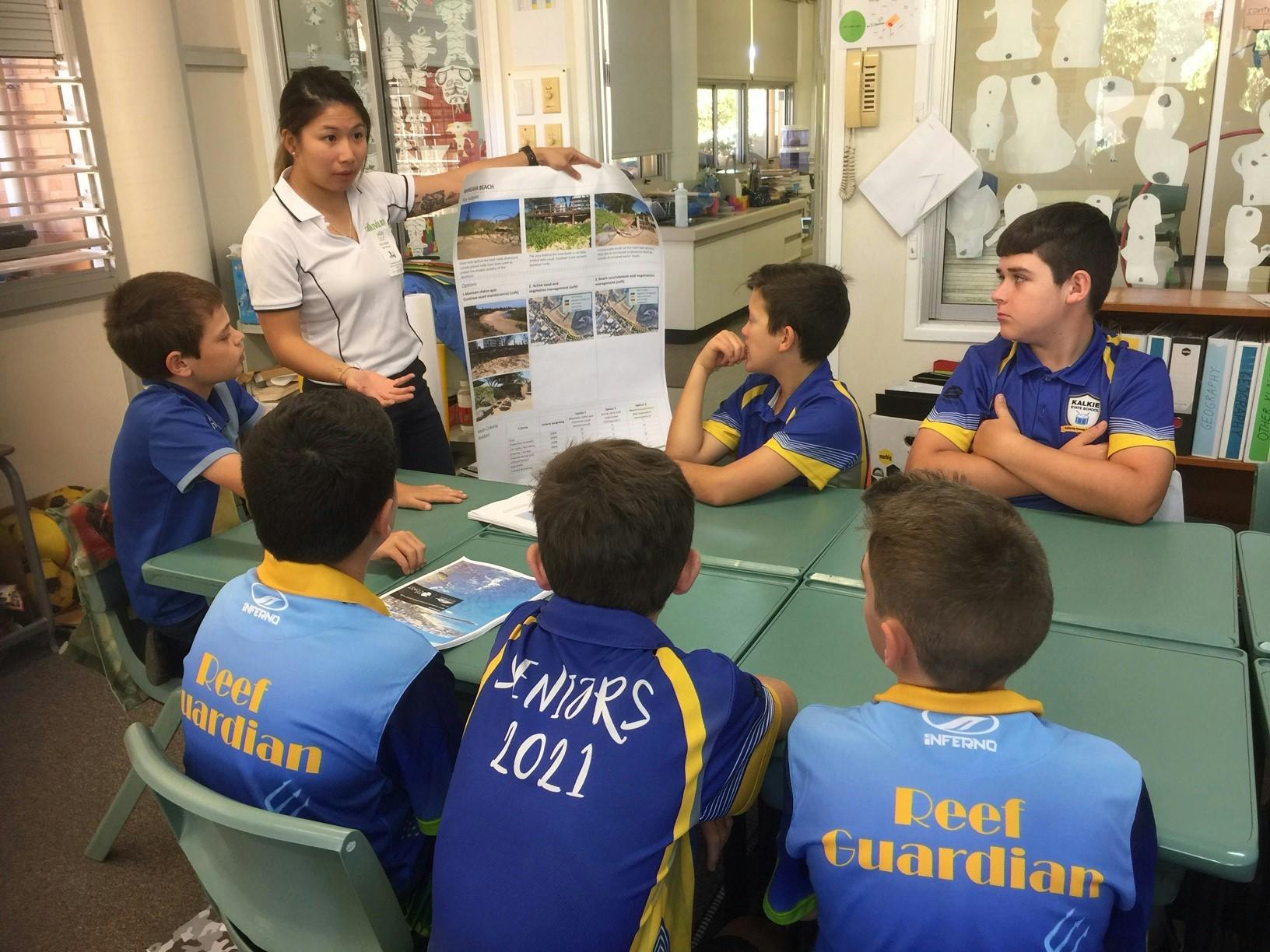
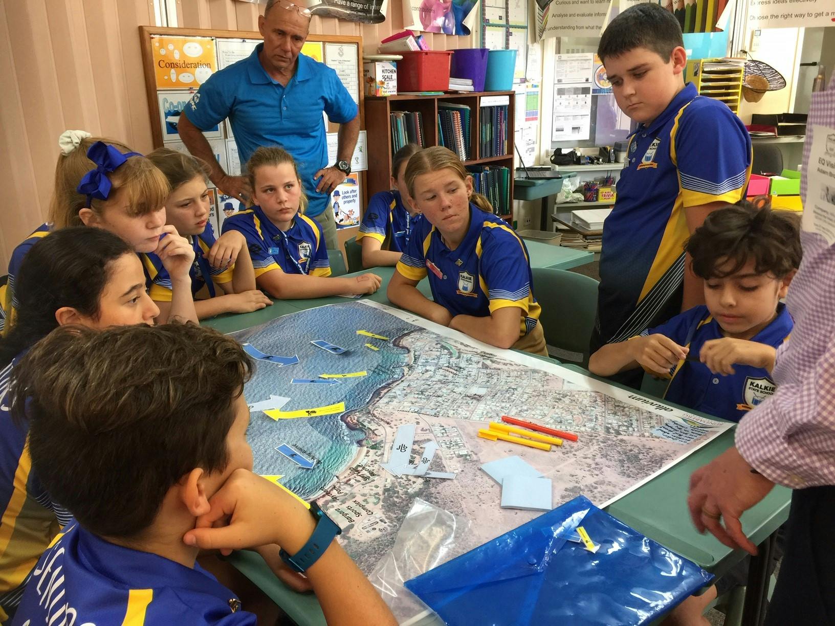
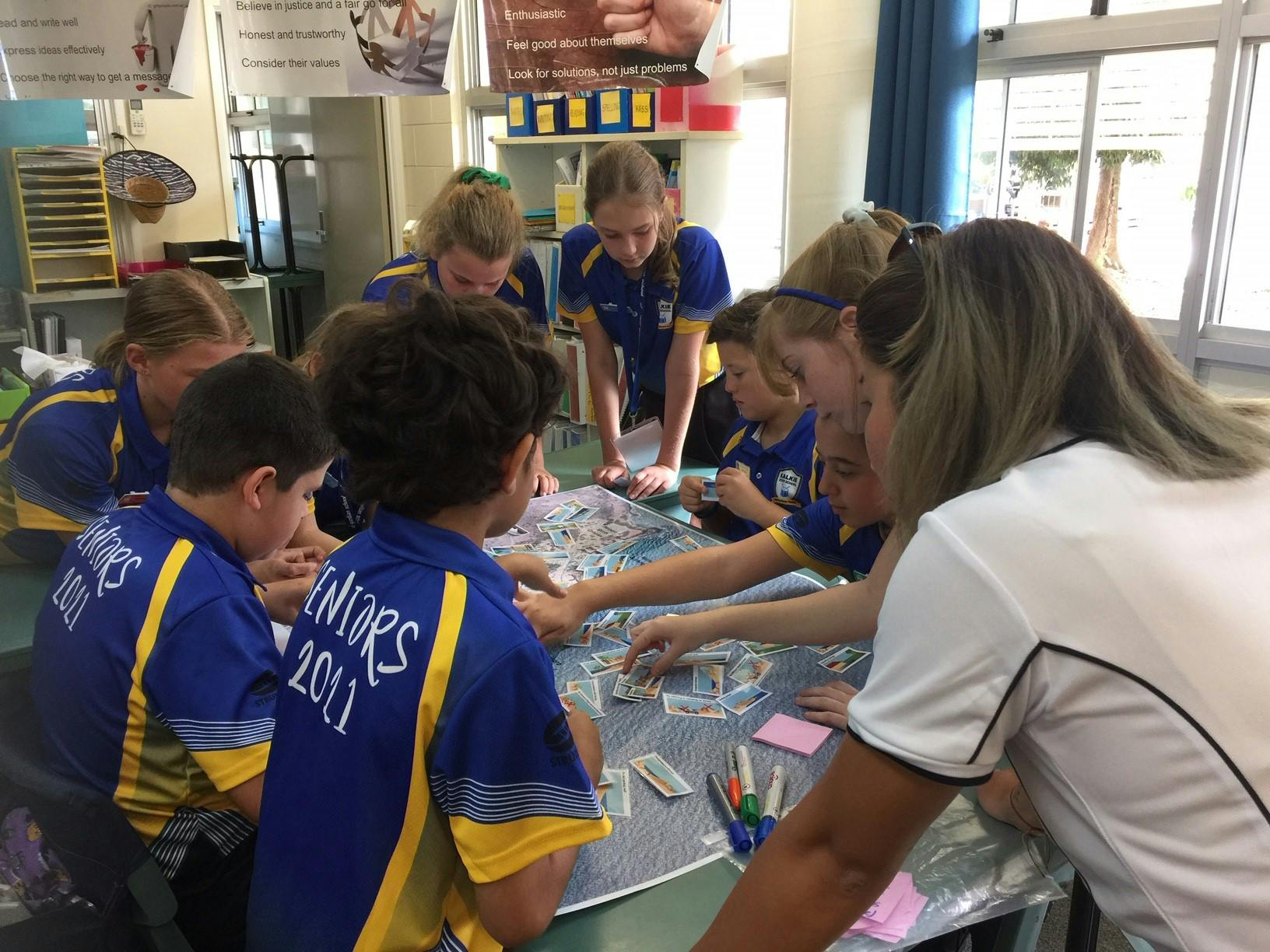
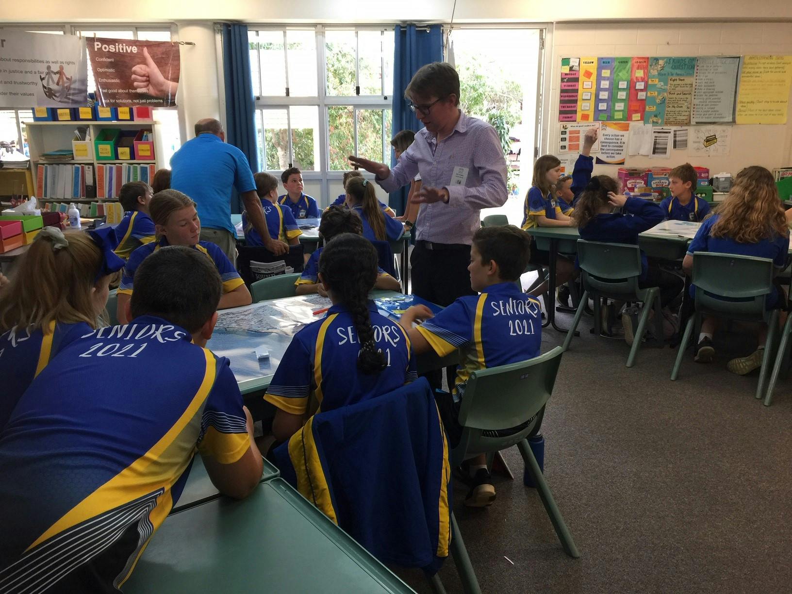
An important part of the project is to build on local experience, knowledge and ideas for how to make the Bargara shoreline more resilient now and in the future. We value the community’s involvement.

Final Project Update
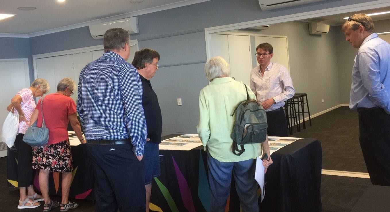
Public submissions to the Bargara Shoreline Erosion Management Plan (SEMP) were received from Wednesday 21 July 2021 to Monday 19 September 2021.
A total of nine submissions were received from the public to the draft Bargara SEMP. A detailed review of all submissions was undertaken along with a subsequent technical review to ensure all items raised were appropriately addressed. An Engagement Summary Report has been developed that summarises the public consultation undertaken and community submissions received.
The final version of the Bargara SEMP was tabled for consideration by Council at the Ordinary Meeting on Tuesday 29 March 2022 and has been formally adopted. You can view a copy of the adopted Bargara SEMP here, or in the document library on this page.
![]()